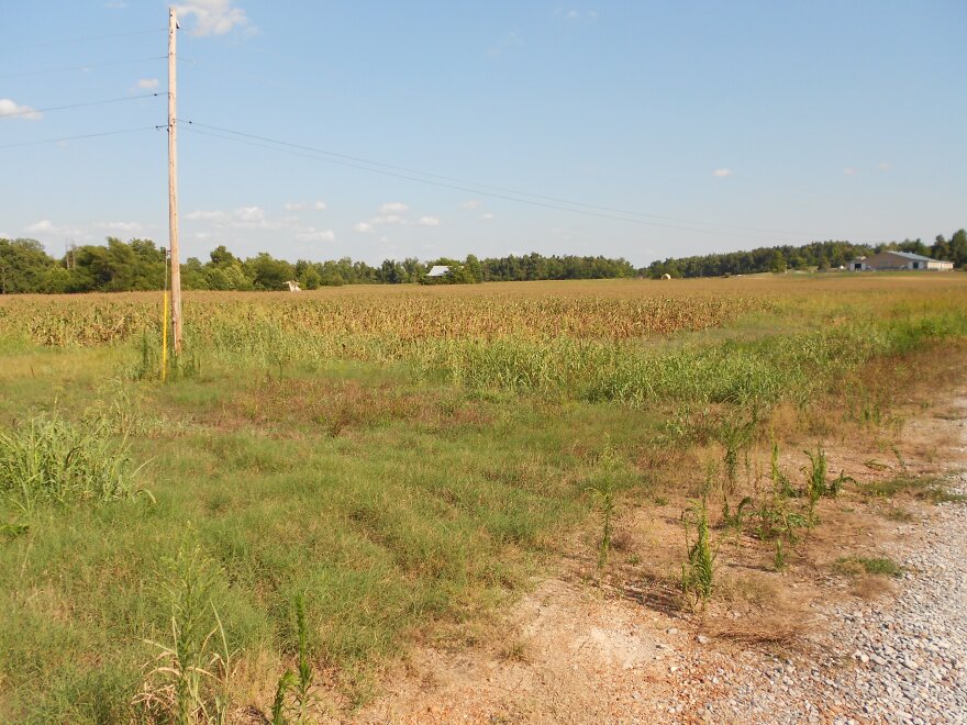
A group of Vanderbilt University environmental engineers have developed a new tool for identifying drought severity over smaller areas, allowing farmers and emergency officials to better mitigate the effects.
Ph.D candidate at the Vanderbilt Institute for Energy and Environment (VIEE) and 2006 Murray State University alum Leslie Duncan was one of the developers of the new drought index calculator.
Duncan says it uses the same calculation as the National Oceanic and Atmospheric Administration’s Palmer Index, but differs by featuring an interface allowing users to input precipitation, temperature and soil data for a specific area, like an individual city or county.
“NOAA offers the drought indices at climate division level, and these climate divisions can be very large," said Duncan. "For example, Kentucky has four climate divisions, and so all of western Kentucky would be lumped into one climate division. If you have access to data at a more local level, than you can calculate the drought index at that smaller scale rather than rely on the region values.”
Along with being a helpful tool for farmers, Duncan says the calculator can help local and state governments develop better emergency planning and drought mitigation efforts.
“If you’re using finer information of the Palmer Drought Index, than you can get a better estimate of the drought intensity for each county," said Duncan. "That will allow you to determine the area expanse, the onset and the duration of a drought. It will allow you to better determine disaster areas and improve recovery efforts.”
She says she hopes just making the tool available will encourage stakeholders to utilize it.
"Once they know this particular tool is available, hopefully they can gain access to the data the tool requires so they can start using it to not only look at current drought conditions but look at historic drought conditions," said Duncan. "Then, if you have any sort of forecast of what precipitation or temperature is going to be over the next several months, then you could potentially do some drought forecasting."
The calculator does rely on users first having access to the specific temperature, precipitation and soil’s water holding capacity for their area in order to be effective.
VIEE director George Hornberger and former Vanderbilt graduate students Debra Perrone and John H. Jacobi also developed and published the calculator, which was funded by the Department of Energy through the Consortium for Risk Evaluation, the Environmental Protection Agency and the National Science Foundation.


